Spaces and Exhibitions
Breathing Terrain: Turning Climate Data into an Exhibition
Wind, humidity, and urban heat data guide an exhibition that combines sensory experience with trustworthy information.
The exhibition question
Breathing Terrain is a fictional exhibition about urban climate. The curators want visitors to understand how streets and buildings change heat, wind, and humidity, while keeping the material approachable.
Spatial narrative
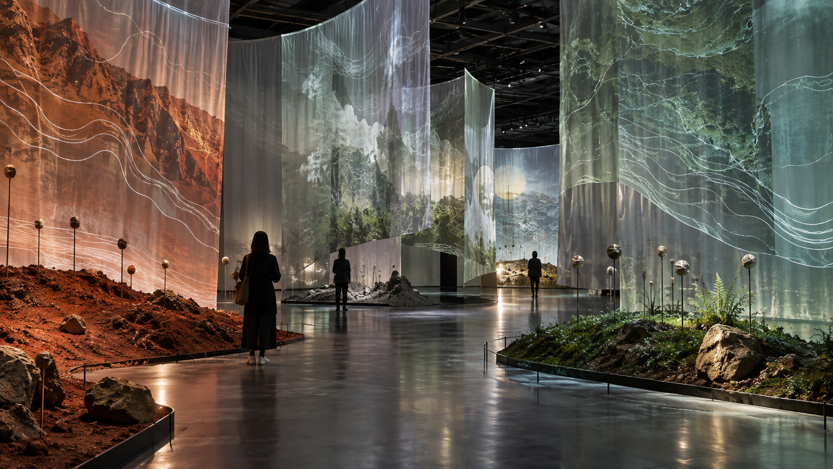
The visit begins in a narrow, slightly warmer entrance, where a wall displays only the day's outdoor data. Space then opens gradually, using gauze, air movement, and projection to present neighborhood microclimates.
Each unit follows a sequence of feeling, observation, and explanation. The body notices a change first, field photographs and residents' records follow, and data and methods provide context. Visitors can begin without knowing how to read a chart while retaining a factual basis for the experience.
Graphic system
Contour lines run throughout the space, with line weights tied to actual data ranges. Colors move from dry earth red to damp blue green. All text also has a high contrast black and white version.
Wayfinding gives information where choices arise. Label height, type size, and viewing distance were tested with people of different heights.
Takeaway materials
Visitors can take an observation card for their own area and record shade, wind, and pauses over a day. The website gathers anonymous records and explains that they are informal observations.
The exhibition gives visitors a method for continuing to observe the city.